


67 Hohwald Charbonnière

LUTZMarc
User
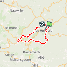


6h57
Difficulty : Medium

FREE GPS app for hiking
 SityTrail
IGN / Geographical institutes
SityTrail Plus
The world is yours!
About
Trail Walking of 23 km to be discovered at Grand Est, Bas-Rhin, Le Hohwald. This trail is proposed by LUTZMarc.
Description
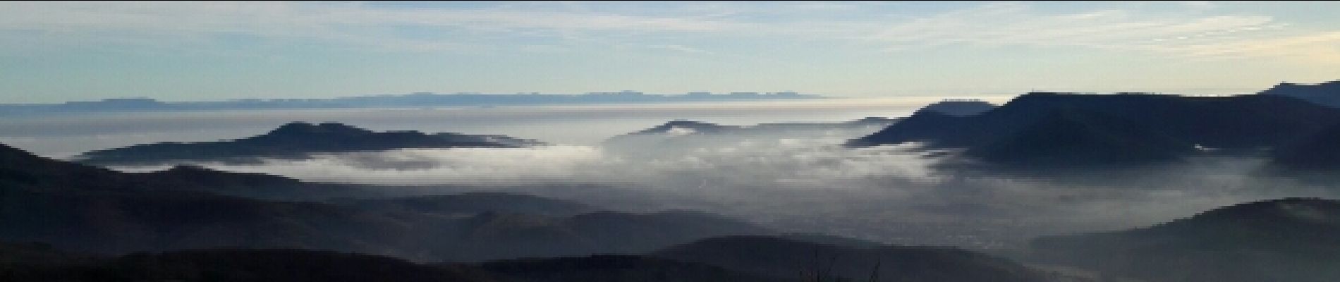
Très belle randonnée à faire de préférence en hiver ou au printemps pour profiter des points de vue. En été il y a de longue partie à l' ombre des feuillages, le parcours est un peu moins varié.
Parcours vallonné avec deux montées assez usantes.
Photos


Positioning
Comments